
Lagdo Dam Water Release: 11 Nigerian States on Flood Alert
Cameroon is releasing water from the Lagdo Dam, putting 11 Nigerian states on high alert. Find out which states are at risk and how to prepare.



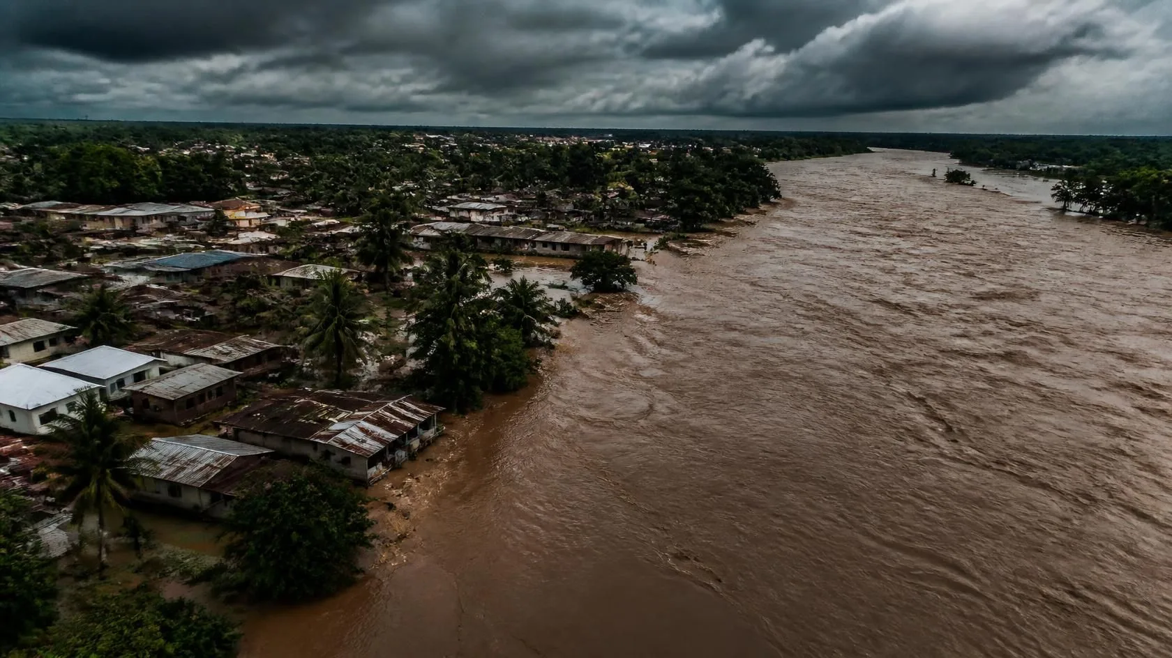
The National Emergency Management Agency (NEMA) has just hit the alarm for 11 Nigerian states. Cameroon is preparing to release water from its massive Lagdo Dam, putting communities along the Benue River directly in the firing line.
This isn't a drill. Nigerians clearly remember the catastrophic 2022 floods triggered by similar water releases. Hundreds of people died, and millions lost their homes. Now, search traffic is spiking nationwide as residents scramble for safety protocols and official updates.
Let's break down exactly what is happening and how residents must prepare.
Why the Lagdo Dam is Spilling
The Lagdo Dam sits in northern Cameroon, directly on the Benue River. When heavy seasonal rains push the dam's massive reservoir past its safe limits, operators have no choice but to release the excess water. If they don't, the dam could suffer a catastrophic structural failure.
Once released, that water surges downstream directly into Nigeria.
NEMA recently conducted emergency flood simulations in Adamawa state to test their response systems. During this exercise, officials confirmed that Cameroonian authorities plan to discharge the water gradually. The flow rate will steadily climb to 1,000 cubic meters per second. While a gradual release helps manage the surge, the immense volume of water still guarantees a dangerous rise in river levels across Nigeria.
The 11 States in the Crosshairs
If you live or do business in the states below, you need a firm evacuation plan. NEMA and the Nigeria Hydrological Services Agency (NIHSA) have officially flagged these regions for high risk:
Affected State | Risk Level | Regional Focus |
Adamawa | Critical | First point of downstream impact |
Taraba | Critical | Heavy agricultural zones |
Benue | Critical | Major riverbank settlements |
Nasarawa | High | Vulnerable flood plains |
Kogi | Critical | Confluence of River Niger and Benue |
Anambra | High | Coastal and riverine communities |
Edo | High | Low-lying residential areas |
Delta | High | Coastal flood plains |
Bayelsa | Critical | Highly vulnerable riverine zones |
Cross River | High | Coastal borders |
Rivers | High | Final drainage paths to the Atlantic |
The water travels a predictable path. It hits Adamawa first, moves rapidly through the Middle Belt, and eventually empties into the Atlantic Ocean through the Niger Delta.
Immediate Action Plan
Do not wait for the floodwaters to appear at your doorstep. Government agencies urge all residents in flood-prone zones to relocate to higher ground immediately.
You can track daily water level updates directly through the Nigeria Hydrological Services Agency (NIHSA) portal. NEMA also provides ongoing situation reports for affected regions.
Pack an emergency bag right now. Include clean drinking water, non-perishable food, flashlights, and vital medications. You should also secure your important identification documents in waterproof bags.
Farmers face the toughest choices. If your crops are near maturity, harvest them immediately. Waiting even a few days could mean losing your entire yield to the rising river.
Federal and state emergency teams say they are better prepared this year. They have activated early warning networks and placed search-and-rescue units on standby. But your survival often depends on rapid personal action. Stay glued to local radio broadcasts, follow official evacuation orders, and prioritize your family's safety.
Comments (0)
Keep exploring
Related posts
 News
NYSC Releases Call-Up Numbers for Batch C: How to Check
 News
Killaboi Testifies on Girlfriend's Messages in Court
 News
Former Delta Governor Emmanuel Uduaghan Dies at 71
 News